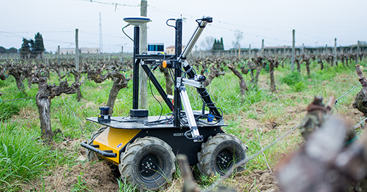
Development of a vineyard innovative tool based on the integration of Earth Observation services and in-field sensors. The VitiGEOSS project, coordinated by Eurecat, integrates and improves existing solutions coupling satellite imagery with in-field sensors with the aim to increase resolution and reliability of satellite information applied to viticulture. Currently, the European Union is the world biggest wine producer, being winemaking the main economic activity of many regions in Southern Europe. Therefore, the wine sector invests heavily in state-of-the-art technology in order to develop innovative solutions and technologies to achieve the most maintain the quality and sustainability requirements. [...]


